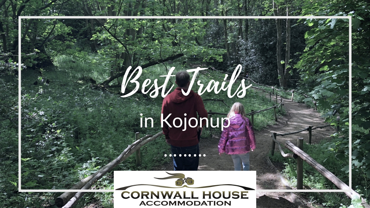
Kojonup isn’t the first-place people think of when they’re planning a walking trip in WA. That’s probably fair. The big names in the region are the Stirling Range and the Bibbulmun Track, both of which draw serious walkers from across the country.
But Kojonup has its own trails, and they’re worth knowing about. They’re shorter, easier, and right on your doorstep if you’re staying in town. For visitors who want to get outside without committing to a full day’s drive or a challenging climb, they’re a practical option. A couple of them have genuine stories behind them too.
Here’s what’s walking distance or a short drive from Cornwall House.
Myrtle Benn Flora and Fauna Sanctuary
This is the pick of the local trails and the one most visitors end up doing.
The sanctuary is on Tunney Road, a short drive from the town centre. Two walking trails run through it, both well-signposted with information panels explaining the plants and habitat as you go. The tracks pass through Wandoo, Marri and Sheoak woodland, and the gravel outcrops in the reserve produce some impressive wildflower displays in spring, particularly from September through October.
What makes the sanctuary worth knowing is the story behind it. In 1959, a local school teacher named Myrtle Benn was concerned about how much bushland was being cleared for farming around Kojonup. She got her Grade 7 class together, formed a Nature Club, and asked the Shire to set aside a patch of bush they could care for. The Shire agreed. Myrtle and her students built and maintained the original trails between 1960 and her retirement in 1972. Two of those original trails are still there.
The reserve is home to around 80 species of native birds, including the Crested Shrike-tit, the Peregrine Falcon, and Carnaby’s Black Cockatoo. In spring, look for White Spider, Mantis, Pink Enamel and Red-Tongued Spider orchids, as well as the red leschenaultia, which is Kojonup’s floral emblem.
Trail maps can be picked up from the Kojonup Visitor Centre. The walking is easy and suits all fitness levels, including families with kids and older visitors. The White Sisters Loop, at around 400 metres, is the shorter and flatter of the two options.
Kojonup Historic Trail
This one starts in town, which makes it easy to fold into a morning before or after breakfast.
The Kojonup Historic Trail takes you past the town’s significant buildings and heritage sites, each with a story attached. The Military Barracks on Albany Highway is the highlight. Built in 1845 as a military outpost, it’s one of the oldest surviving military buildings in Western Australia and now houses a small museum. Worth 20 minutes of your time.
The trail also takes in Elverd’s Cottage and the Kojonup Spring, the natural freshwater spring that drew the Noongar people to this location for centuries and later attracted the first European settlers. The spring feeds a small reserve and is a peaceful spot even outside the walking season.
It’s a flat, easy walk through town rather than a bushland trail, but it gives you a clear picture of how the town was founded and what shaped it. The Kodja Place, at 143 Albany Highway, is the logical start and finish point. The visitor centre there has trail maps and can fill in any detail the signage doesn’t cover.

Bluebell Rock Walk
This short trail is located on Blackwood Road, a little out of town.
The Bluebell Rock Walk is named for the blue leschenaultia that blooms across the granite outcrops in season. The granite itself is covered in interesting collections of mosses and lichen, and the Stackhousia (white candle flowers) and various orchids are worth looking for when conditions are right. It’s a quiet, scenic walk rather than a challenging one.
Best visited in spring, from September through October, when the wildflowers are at their peak.
Old Railway Dam
Not an official walking trail as such, but worth a mention for birdwatchers.
The Old Railway Dam was originally built to supply fresh water for steam engines, pumped from the dam to the railway. Before the town swimming pool was built in 1970, it was used for swimming too. These days it’s a peaceful spot and home to water birds, frogs, and the long-necked tortoise.
If you walk or drive out here early in the morning you’ll likely see more birdlife than you expect. It’s the kind of quiet local spot that doesn’t make it onto most visitors’ lists, which is part of the appeal.
Farrar Dam Reserve
Another local reserve worth a short visit, particularly for birdwatching and a picnic. It’s a calm, easy stop rather than a dedicated walking trail, but it fits naturally into a morning spent exploring the area around town.
If You Want a Proper Walk
The trails in and around town are gentle by design. They suit visitors who want to get outside and see something of the landscape without working too hard for it.
If you’re after something more challenging, the Stirling Range National Park is about an hour’s drive south. Bluff Knoll, the highest peak in the south of WA at 1,073 metres, is a 6.5 km return walk and takes around 3 to 4 hours. Mount Toolbrunup is shorter at 4 km but steeper, and many people rate the views from the top more highly. Both are proper hikes that need good shoes, water, and a reasonable level of fitness.
Talyuberlup Peak is another Stirling Range option, 2.6 km return but classified as a difficult walk due to the steep rock scramble near the top. Allow about 1.5 hours.
Trail maps for the Stirling Range are available at the Kojonup Visitor Centre before you head out.
When to Visit
Spring is the best time for wildflowers, roughly mid-August through October. The Myrtle Benn sanctuary and Bluebell Rock Walk are both at their best during this window. The Great Southern Bloom Festival runs across the region in September and October, with events and activities in and around the area during that period.
The trails are accessible year-round, though the weather here can be cold and wet in winter. Check conditions before heading out, particularly if you’re planning anything in the Stirling Range.
Trail Maps and Local Information
The Kojonup Visitor Centre is located at the Kodja Place, 143 Albany Highway. They stock maps for the local trails and can point you in the right direction based on what you’re after and how much time you have.
Cornwall House is a short walk from the Kodja Place. If you have questions before you arrive, give us a call on (08) 9831 0214 or email stay@cornwallhouseaccommodation.com.au and we’ll help you plan your days.